Qal’at al-Bahrain: read the mound beneath the fort as accumulated occupation
A prominent fort can visually overshadow the archaeological mound beneath it. At Qal’at al-Bahrain, use the concept of a tell to think about accumulated occupation rather than one monument standing on an ordinary hill. The task is to connect an identified upper structure with the interpretation of deeper layers, without assigning dates to exposed material from appearance alone.
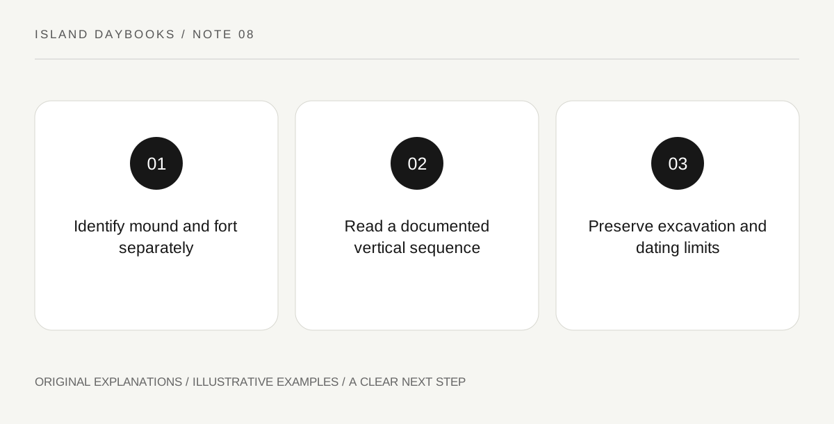
Original explanatory diagram. Read the full method and limitations below.
Give the mound its own identity
UNESCO describes Qal’at al-Bahrain as a tell formed by successive occupation layers, with a Portuguese fort above and evidence of several kinds of earlier activity. It also identifies the site’s association with Dilmun and a long trading-port history. These facts establish why the mound matters independently of the fort’s silhouette. Record the term tell and explain it in your own words. Do not treat the entire visible site as one construction event or assume that elevation alone dates a surface.
Use a labeled section to understand sequence
Find an official diagram or interpretation that explains the layers relevant to the chosen subject. Make a simplified vertical sketch, labeling it source-based rather than an excavation record you produced. Add only the periods or functions the interpretation actually identifies. A diagram can clarify sequence while leaving complicated relationships out, so do not extend its neat horizontal lines to every part of the site. The sketch is an aid to reading the explanation, not a license to identify unlabelled archaeological fabric independently.
Compare the topmost landmark with the longer history
Write one note about the fort as identified in the source and another about an earlier interpreted layer or activity. Ask what changes when the fort is placed within that longer sequence. Avoid ranking the earlier material as more real or the later structure as an intrusion. Both can form part of the site’s history. The comparison is strongest when it states a documented relationship rather than inventing a continuous story for every century between the selected examples.
Keep gaps in excavation visible
End with a caption that distinguishes surviving material, excavated evidence and the broader interpretation. Do not claim that everything beneath the mound is exposed, known or available to visitors. An archaeological property can remain informative precisely because the record is partial and research questions continue. This gives a Bahrain island visit a specific lesson about time depth, while any actual movement around the site remains governed by current operator information and conservation boundaries rather than a visitor’s desire to complete the vertical sketch.
Illustrative island notebook
Illustrative section: a visitor pairs an official view of the fort with a labeled diagram of accumulated layers. Their notebook identifies the diagram as interpretive and records one earlier activity actually explained by the source. The final caption preserves the gaps between examples. It makes no claim that an unlabelled exposed wall belongs to a particular period or that the whole mound has been excavated.
Questions that come up
Can the highest visible structure represent the whole site’s history?
No. The source describes accumulated occupation with multiple functions and periods. The prominent fort is one part of that longer record.
Does a neat section prove every layer is continuous everywhere?
No. A simplified diagram serves an explanatory purpose. Use the actual archaeological interpretation for the relationships it establishes.
References and scope
These sources support the factual background. Examples and exercises are original illustrative teaching material. References do not imply endorsement.
- UNESCO: Qal’at al-Bahrain, Ancient Harbour and Capital of Dilmun — The tell, successive occupation, upper fort and varied earlier activities; no independent stratigraphic dating or complete-excavation assertion.