Djerba: read low-density settlement as a connected pattern
An island settlement does not need a compact old-town square to have a legible organization. Djerba’s heritage subject is a low-density pattern shaped by environmental and social relationships. Use an official map and interpretation to examine how dispersed places can form a connected system, without treating quiet gaps as empty land available for a traveler to explore.
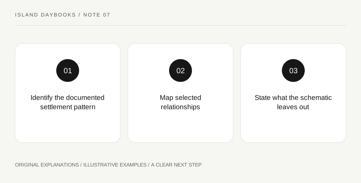
Original explanatory diagram. Read the full method and limitations below.
Begin with the pattern rather than one landmark
UNESCO describes Djerba through low-density neighborhoods linked with one another and with religious and trading places by a road network, in a water-scarce environment. This is an account of settlement organization, not a claim that the whole island is one open visitor site. Start with official property interpretation and identify the selected area or component. Keep the environmental context attached to the pattern while avoiding unsupported assumptions about the present occupants or use of a particular building.
Map relationships with different symbols
Draw simple symbols for the types of places actually identified by the source: neighborhood, religious place and trading place where relevant. Use lines only for documented connections. Leave the map schematic, with no implied shortcut or walking distance. The exercise helps show that separation and connection can coexist. A blank area between symbols may represent land with important uses or boundaries not explained by your map, so do not label it unused simply because the small-scale diagram contains no feature there.
Ask what the environmental context explains
Read how the interpretation connects settlement to water scarcity and other factors. Record the relationship it establishes, then distinguish it from a universal rule about all dry islands. Do not infer a functioning water system from an unidentified structure or propose a technical adaptation for present residents. The educational task concerns a documented historical pattern. Its value lies in seeing environmental and social factors together, while resisting the temptation to explain every local decision through climate alone.
Choose a suitable form of observation
A current authorized visit, an official plan or a well-explained image may each serve part of this inquiry. State which you used. Respect religious, residential and productive boundaries rather than trying to join map symbols through private space. End with a sentence describing one supported connection and another acknowledging what the diagram leaves out. This gives an island day a settlement question that differs from the usual compact-town walk, without pretending the visitor has surveyed the whole territory or understood every community within it.
Illustrative island notebook
Illustrative diagram: a traveler uses official interpretation to mark a neighborhood and a documented relationship with a trading place. The connecting line is explicitly schematic. A surrounding gap remains unlabeled because the source does not explain its present use. The final note links the pattern to the stated environmental context without inventing a water structure, private route or universal explanation for every settlement decision.
Questions that come up
Does low density mean a settlement lacks organization?
No. The heritage account specifically concerns a connected pattern. Organization can occur through relationships among dispersed places.
Can a property map be used as permission to cross private land?
No. Cultural scope and access are different matters. Use current authorized routes and visitor arrangements for any actual visit.
References and scope
These sources support the factual background. Examples and exercises are original illustrative teaching material. References do not imply endorsement.
- UNESCO: Djerba, Testimony to a settlement pattern in an island territory — Low-density neighborhoods, religious/trading connections and water-scarce environmental context; no private access or unverified water-system claim.