La Laguna, Tenerife: compare two street patterns without ranking them
An island city can contain different ideas of urban organization within the same historic centre. In San Cristóbal de La Laguna, compare the interpreted Upper and Lower Town patterns through a small map exercise. The task is to recognize two documented planning histories without turning irregular into disorderly or planned into a claim of superior everyday life.
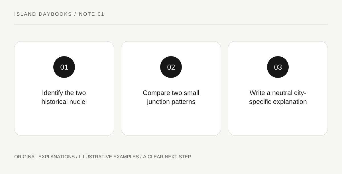
Original explanatory diagram. Read the full method and limitations below.
Begin with the two-nucleus description
UNESCO distinguishes La Laguna’s original unplanned Upper Town from a Lower Town organized according to an ideal-city concept. This supplies a particular historical comparison, not a universal rule about Canary Island towns. Identify the two areas on appropriate official interpretation before looking for examples. A contemporary street map alone cannot establish which lines belong to which historical process. Keep the source’s explanation beside the map so that the visual pattern and its documented history remain connected rather than merely resembling a familiar textbook diagram.
Draw the junction rather than every street
Choose a small public-space example associated with each interpreted area, using an official plan or permitted observation. Draw the meeting of streets and the shape of the adjoining open space. Leave building decoration out initially. Ask how directions change and what can be seen across the junction. These questions describe spatial experience without requiring a long walk or exact measurements. If the actual route is unsuitable for the group, compare official plans instead and clearly label the evidence used.
Keep description separate from value judgment
List the visible differences using neutral language: angled, aligned, widening or turning, where those words accurately fit the selected example. Avoid calling one area chaotic or more civilized. A street pattern does not independently measure the quality of people’s lives or prove a planner’s every intention. If the interpretation establishes a design principle, record it as that source’s historical explanation. Your sketch supplies a limited spatial observation, and the two should support each other without being forced into an oversimplified contest.
Write a comparison that belongs to this city
End with a paragraph naming the two areas, one documented difference and the specific junctions or plans examined. Add a question about how later changes interacted with the older pattern, without assuming every present frontage dates from the initial layout. This produces a Tenerife day with an urban subject distinct from the beach. The notebook’s value lies in explaining one relationship accurately, so it does not need a large sightseeing count or a claim that the entire city has been understood in a single visit.
Illustrative island notebook
Illustrative map: a traveler studies two officially contextualized junctions, one associated with each nucleus. The sketches show a change in direction and a more aligned connection, using no exact dimensions. Their final paragraph links the differences to the source’s planning history and leaves later frontage dates open. It contains no ranking of the communities and no invented route between the selected locations.
Questions that come up
Does an irregular plan mean no history of organization?
No. The source’s distinction concerns particular planning histories. Avoid turning a map pattern into a sweeping social judgment.
Can official plans replace a long observation walk?
Yes, for a clearly stated limited comparison. Label the evidence and do not imply that you visited positions you studied only through a plan.
References and scope
These sources support the factual background. Examples and exercises are original illustrative teaching material. References do not imply endorsement.
- UNESCO: San Cristóbal de La Laguna — The distinction between the unplanned Upper Town and ideal-city Lower Town; no route, exact dimensions or social-quality ranking.