Hawaiʻi’s volcanic landscape: keep island formation, an eruption and today separate
A volcanic island photograph can combine three different ideas in a traveler’s mind: the long formation of the island, a particular eruption and the conditions of a future visit. Separate those time scales before drawing conclusions. A desk-based comparison of official interpretation and dated imagery can be a complete learning task without chasing an active event or approaching a restricted area.
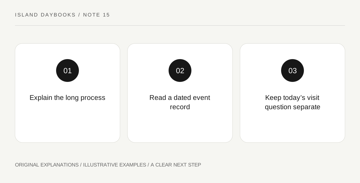
Original explanatory diagram. Read the full method and limitations below.
Give the long process its own explanation
The National Park Service explains that volcanic activity built the Hawaiian island chain and describes the contribution of Kīlauea and Mauna Loa to Hawaiʻi Island. Use that broad geological context as one notebook field. It does not state what will be happening during a particular holiday. Avoid turning a long-term process into a continuous spectacle. The physical history of an island can remain worth studying even when no visible eruption is available or appropriate for a visitor to observe.
Attach a dated event to its actual record
Choose an official historical image or account and preserve its date, location and caption. Write what event or feature the source identifies, leaving anything outside that record unclaimed. An archive image may explain change without depicting present conditions. Do not remove its date to make it fit a current itinerary or assume that a glowing scene remains visible from the same place. The useful comparison concerns documented change, not a promise to reproduce a dramatic photograph.
Give the present a separate information source
For an actual visit, use the park’s current alerts and conditions and the relevant official volcano-status information. The National Park Service maintains those as distinct visitor resources, including access and condition questions. This article gives no viewing position, terrain assessment or health clearance. A geological explanation cannot establish that a road, viewpoint or activity is presently appropriate. Keeping the present field separate prevents an educational archive from accidentally becoming an operational guide.
Write a three-time caption
End with three short statements labeled long process, dated event and current visit question. The first two can be answered through suitable interpretation; the third remains dependent on the actual day and responsible authorities. This gives a Hawaiʻi island day a clear learning outcome without requiring an active-eruption encounter. The landscape becomes meaningful through its documented development, while the traveler’s practical choices stay grounded in current information rather than the emotional force of a historical image.
Illustrative island notebook
Illustrative page: a visitor pairs a park explanation of island-building with one dated official eruption image. A third box contains the link to current conditions, with no assumed access conclusion. The final caption distinguishes all three time scales. It does not name an improvised viewing point, reuse an archive image as live evidence or suggest that visible lava is necessary for a worthwhile cultural and geological visit.
Questions that come up
Does an eruption photograph establish present access?
No. It records a particular event or view. Current access and conditions require current official information.
Is the learning task worthwhile without seeing an eruption?
Yes. Understanding the island-building process and one documented change is a coherent educational outcome independent of a live spectacle.
References and scope
These sources support the factual background. Examples and exercises are original illustrative teaching material. References do not imply endorsement.
- National Park Service: Volcanoes, Hawaiʻi Volcanoes National Park — The island-building geological context; current visitor decisions are explicitly deferred to official current alerts rather than inferred from geology.
- National Park Service: Hawaiʻi Volcanoes alerts and conditions — The official separation of current alerts, air quality and volcano-status resources; no fixed condition or route assertion.