Saint Lucia’s Pitons: do not mistake a familiar outline for a property boundary
Two recognizable peaks can become such a strong island emblem that everything beyond their outlines disappears. Use the Pitons Management Area’s official description to compare the iconic view with the broader land-and-sea subject. The exercise asks what a silhouette makes memorable and what a map and ecological interpretation must add, without proposing a climb or a marine excursion.
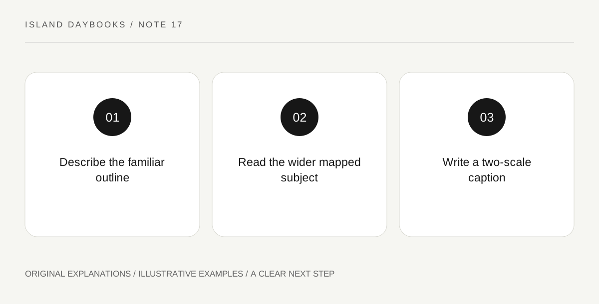
Original explanatory diagram. Read the full method and limitations below.
Read the named area before the emblem
UNESCO describes the Pitons Management Area through volcanic spires, associated terrestrial environments and a marine area with coral reefs. This gives a broader subject than the two peaks alone. Begin with an official property map or interpretation and identify which elements the selected image actually shows. Do not infer a protected-area boundary from the edge of a photograph. Nor does the designation establish that every feature within its cultural or natural scope is open to visitors under the same arrangements.
Make a visible-and-mapped inventory
Draw the familiar outline in one small box, labeling it a simplified view. In another, list the additional named environments supplied by the official account. Use no invented scale or route line. The contrast helps explain why a visual emblem is useful but incomplete. A peak can dominate a postcard while a marine component remains entirely outside the frame. That absence concerns the image’s selection, not the component’s importance or the ease with which a traveler can reach it.
Choose one relationship to investigate further
Select a specific subject from the broader account, such as how the property’s interpretation includes both land and water. Find an appropriate official explanation rather than filling the map with imagined ecological links. Avoid claiming that a particular reef condition can be read from the mountain view or that a land photograph predicts a wildlife encounter. Keep current ecological condition and actual access questions with the responsible sources. The diagram’s purpose is scope, not a substitute for a management plan or environmental survey.
Write a caption with two scales
End with one sentence describing the emblematic outline and another identifying the wider interpreted area. State which evidence supports each. This gives a Saint Lucia day a clear educational subject without making ascent the necessary conclusion. The broader property becomes understandable through a bounded comparison, while its various places retain their own current arrangements. A good caption can preserve the visual impact of the peaks and still show that an island’s significance may extend beyond the feature most often used to sell the trip.
Illustrative island notebook
Illustrative page: a traveler pairs a simplified peak outline with an official map reference identifying additional land and marine elements. The final caption explains the difference between the framed view and the wider subject. No reef condition or animal encounter is inferred from the photograph, and no line is drawn as a proposed route between the environments simply to make the page look complete.
Questions that come up
Do the two peaks alone describe the whole property?
The cited account includes additional terrestrial and marine subjects. Use the official map and interpretation for its broader scope.
Does inclusion within a heritage area imply uniform access?
No. Different places and activities can have distinct current arrangements. Establish the actual intended visit separately.
References and scope
These sources support the factual background. Examples and exercises are original illustrative teaching material. References do not imply endorsement.
- UNESCO: Pitons Management Area — The volcanic spires and wider terrestrial/marine context; no climbing route, reef-condition assessment or common-access assumption.